The Transit-to-Trail Blueprint: A Logistics Guide

Look, let's be real... The spring hiking season is kicking off, which means we are rapidly approaching peak National Park traffic gridlock. As I detailed in my recent audit of "eco-friendly" EV road trips, an electric vehicle stuck in a two-mile backup at a park entrance is still a vehicle destroying a localized ecosystem. The spatial geometry simply doesn't add up.
The most pragmatic, zero-emission adventure you can take this weekend doesn't require a rental car, a flight, or fighting for one of the twelve legal parking spots at a crowded trailhead. It requires a bus pass.
Welcome to the Transit-to-Trail Blueprint. Here is the logistics guide for bypassing the trailhead parking lot nightmare and turning municipal transit into your personal outdoor shuttle system.
The "Last Mile" Transit Audit
The biggest hurdle to a transit-based hike isn't a lack of buses; it's a lack of integrated data. Navigation apps are great for finding coffee shops, but they are notoriously bad at overlaying bus routes with topographic maps. To build a successful transit-to-trail route, you need to do a manual audit.
- Locate the Municipal Overlay: Pull up the local transit authority map for your region (or the city you are visiting). Cross-reference the terminal stops of regional bus lines with a detailed trail mapping app. You are looking for zones where municipal asphalt meets single-track dirt.
- The Shuttle Loophole: Many second-tier cities have seasonal, county-funded shuttles designed to reduce mountain road traffic. These are highly efficient, high-capacity vehicles that cost a fraction of a tank of gas. Use them.
- Check the Sunday Logistics: Weekend schedules are the Achilles' heel of public transit. A bus that runs every 15 minutes on a Tuesday might run every two hours on a Sunday. Verify the return schedule before you step onto the trail, and always have a backup route.
The Transit Pack Strategy
Packing for a bus ride to the backcountry requires a different logistical mindset than throwing gear into the trunk of a Subaru. When you use public transit, you carry your basecamp with you.
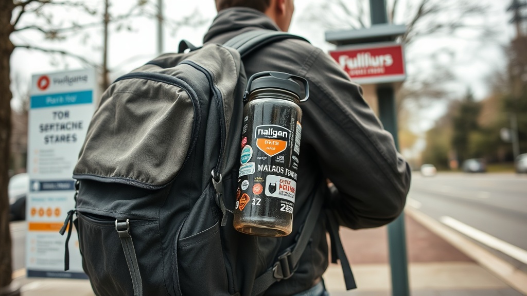
First, streamline your exterior kit. If you have trekking poles, collapse them and strap them tightly to your pack—nobody wants to get impaled on a crowded 7:00 AM commuter line. Second, rethink your hydration strategy. I always make sure "The Tank" (my battered, sticker-covered 32oz Nalgene) is fully topped off before I leave my apartment, because municipal trailheads often lack reliable potable water.
Finally, bring a dedicated "transit layer." A lightweight, packable windbreaker isn't just for the summit; it's a protective barrier between your sweaty base layers and the heavily air-conditioned transit seat on the ride home.
The Point-to-Point Advantage
Here is where the transit-to-trail method actually outperforms driving: the point-to-point hike. When you drive to a trailhead, you are logistically tethered to that specific patch of asphalt. You have to hike in, turn around, and hike exactly the same terrain back to your car. It's an inefficient use of trail miles.
Transit completely severs that tether. You can ride a bus to Trailhead A, hike twelve linear miles across a ridgeline, and catch a different bus or commuter train at Trailhead B. The math checks out—you cover twice as much new terrain without doubling back.
Progress Over Perfection
Travel involves trade-offs. Yes, a bus takes longer than driving yourself. Yes, you have to adhere to a rigid schedule. But the payoff is zero parking anxiety, zero localized emissions from idling at a park gate, and a massive reduction in the structural footprint of your weekend adventure.
This spring, ignore the aesthetic fluff of "luxury eco-resorts" and expensive gear upgrades. The ultimate outdoor flex is knowing how to read a bus schedule. See you out there, fellow humans.